Dehergad (Bhorgad) Fort – 2025
Table of Contents
Trek Overview
- Trek Name: Dehergad (Bhorgad)
- Region: Dindori, Nashik district
- Range: Nashik range / Peth–Nashik range
- Base Village: Deherwadi, Rasegaon
- Height from MSL (ft): ~3320–3580 ft (ancient hill fort)
- Type:
[X]hill fort[ ]forest trail[ ]plateau
- Difficulty Level:
[X]easy[ ]moderate[ ]difficult
- Best Season:
[X]winter[ ]summer[X]monsoon (green, but more slippery)
- Time taken to Climb [hrs]: 5 hr 30 min (half‑day trek)
- Water Availability:
[X]yes – water in rock tanks till about February[ ]no
- Suitable For:
[X]beginners[X]regular trekkers[ ]families (okay if used to basic climbs)
Schedule & Companions
- Date:
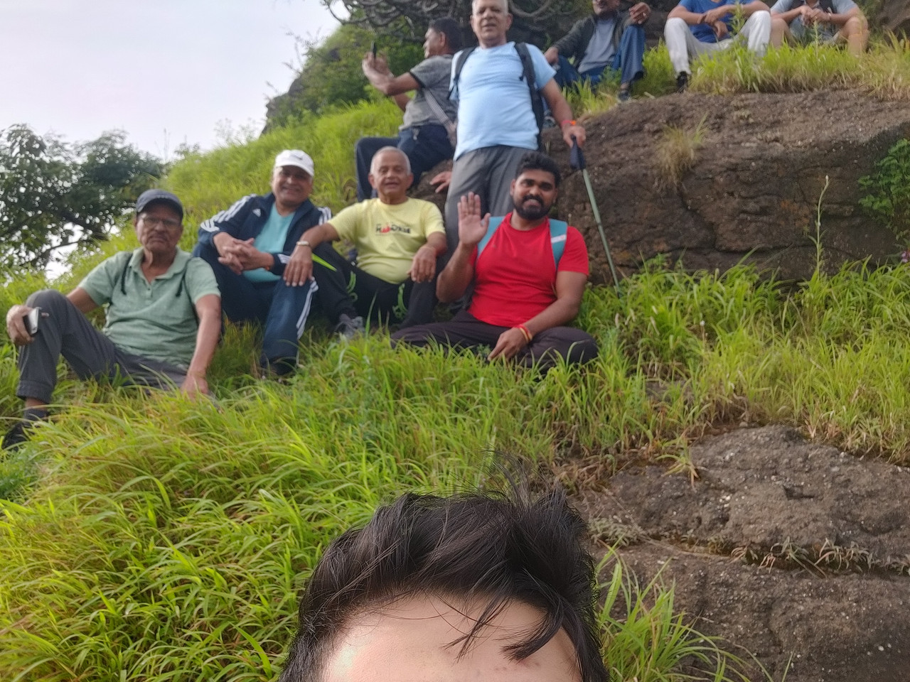
- Team Members: 18
- Wake-up Time: 5:30 AM
- Left Home: 6.25 am
- Start Point / Meeting Place: muktidham.
- Route Start Time: 7.32
- Return Time: Trek finished by 12:21 PM; reached home by 2:00 PM.
- Key Stops / Temples / Checkpoints:
- Base at Deherwadi / Rasegaon side.
- Rock‑cut steps zone with tanks and Shivalinga.
- Open‑to‑sky Mahadev temple on south edge.
Route Information
- Route from Base City: Nashik → Nashik–Peth highway → towards Ramshej side → turn for Deherwadi / Rasegaon (east of Ramshej).
- Final Village Distance km: ~19 km from Nashik (via Peth highway).
- Public Transport Availability: Buses available from Nashik up to Rasewadi / Deherwadi junction on Nashik–Peth highway.
- Parking / Auto / Petrol: Facilities, garages and petrol pumps along Nashik–Peth highway and in Nashik city.
Historical / Mythological Background
- Historical Importance:
- Dehergad lies in Dindori taluka on east side of famous Ramshej fort and is also known as “Bhorgad”.
- It, along with Bhorgad and Rajdeher, helped watch and protect the old trade route Peth–Sawalghat–Dindori.
- The fort was under Swarajya during Shivaji Maharaj’s time; exact Mughal capture details are unclear.
- Legends / Myths:
- No specific mythological stories; mainly strategic watch‑tower role.
- Nearby Heritage / Religious Sites:
- Ramshej fort to the west.
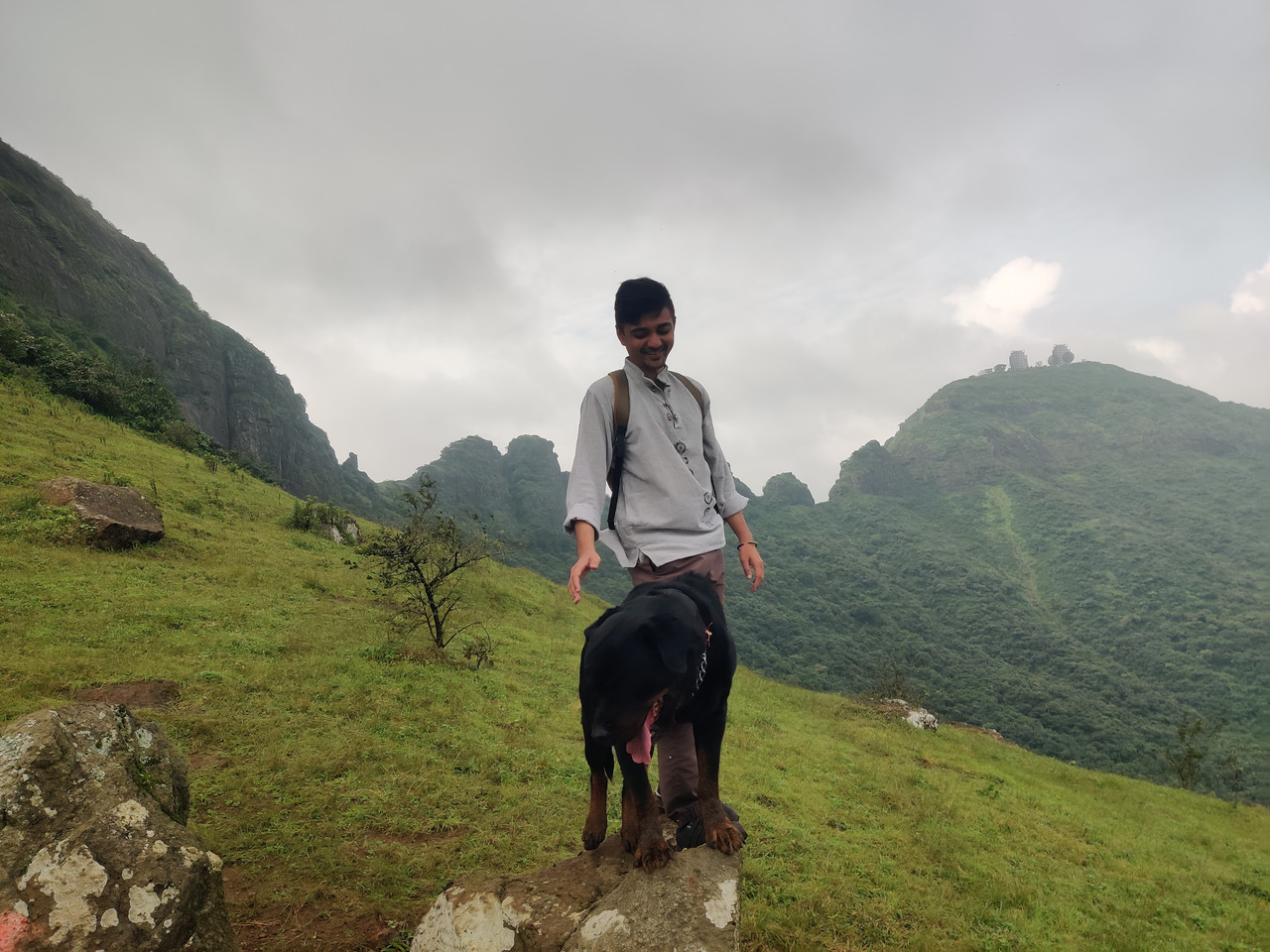
- Bhorgad hill with radar installation nearby (restricted).
Key Landmarks & Attractions
- Temples:
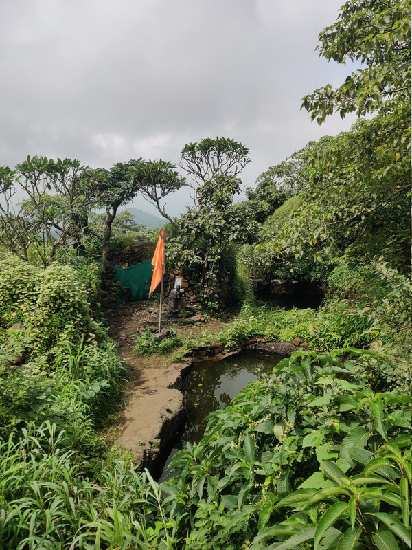
- Open‑to‑sky Mahadev (Lord Shankar) temple on the south edge (roofless, only remnants).
- Structures (Bastions, Caves, Gates, etc.):
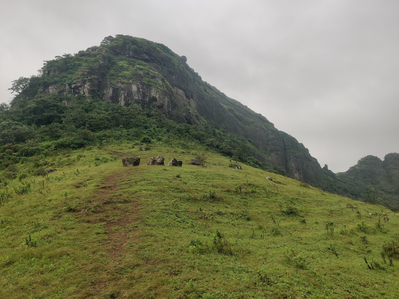
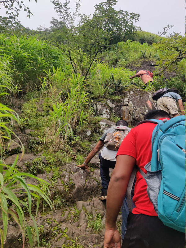
- Rock‑cut steps in last section leading to ruined entrance.
- Three main rock‑cut water tanks and a Shivalinga near them.
- Additional paired tanks on south and west sides; scattered ruined structures on top.
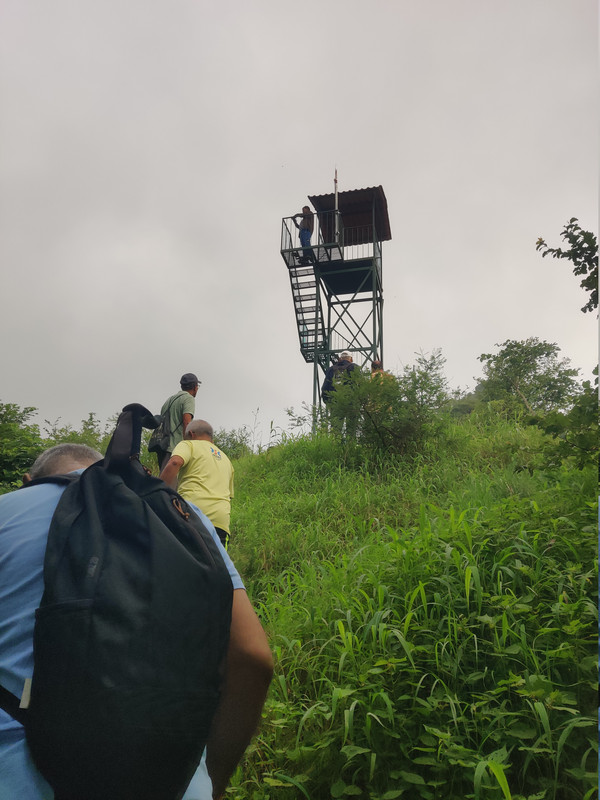
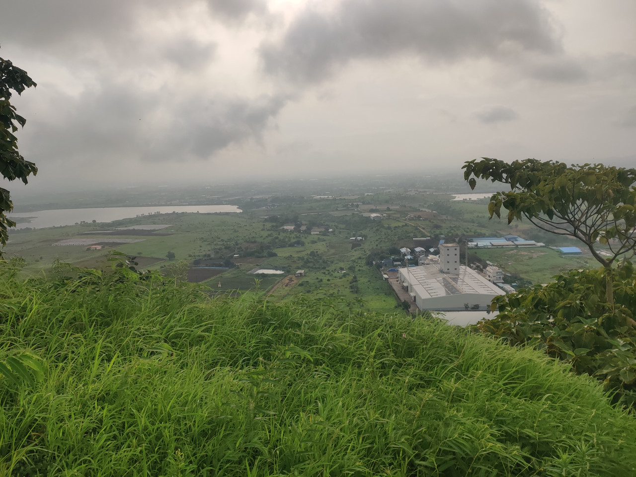
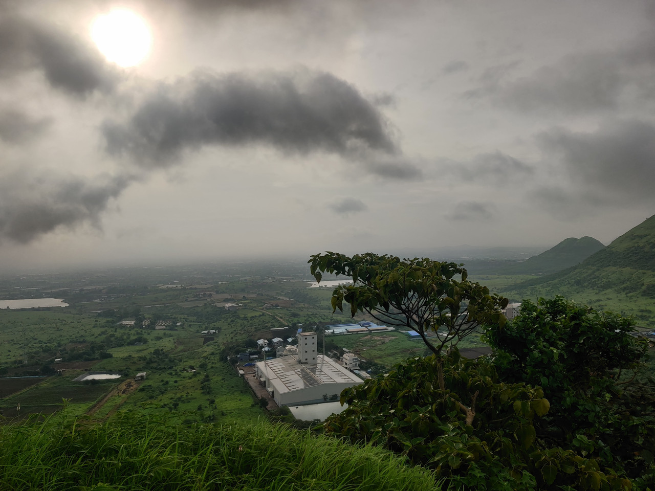
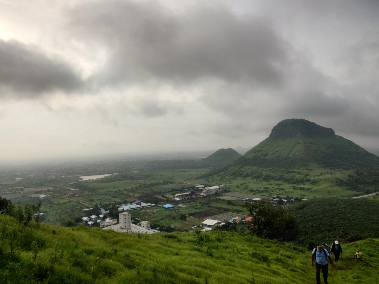
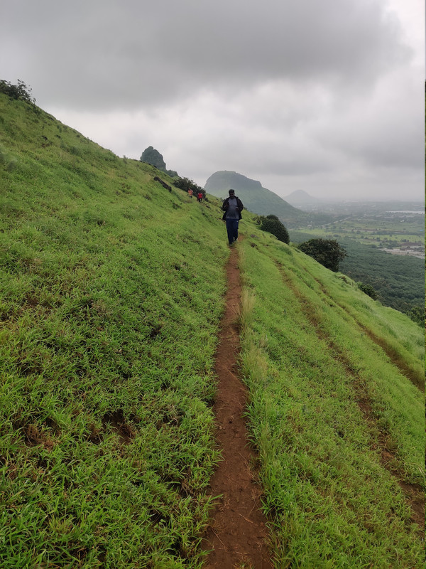
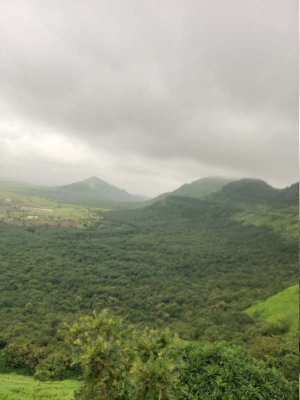
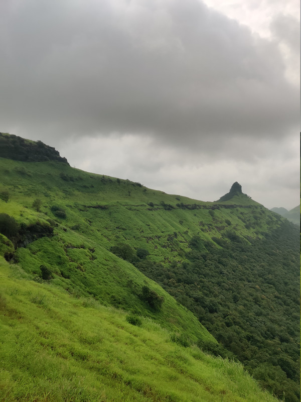
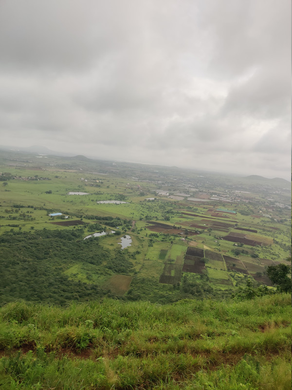
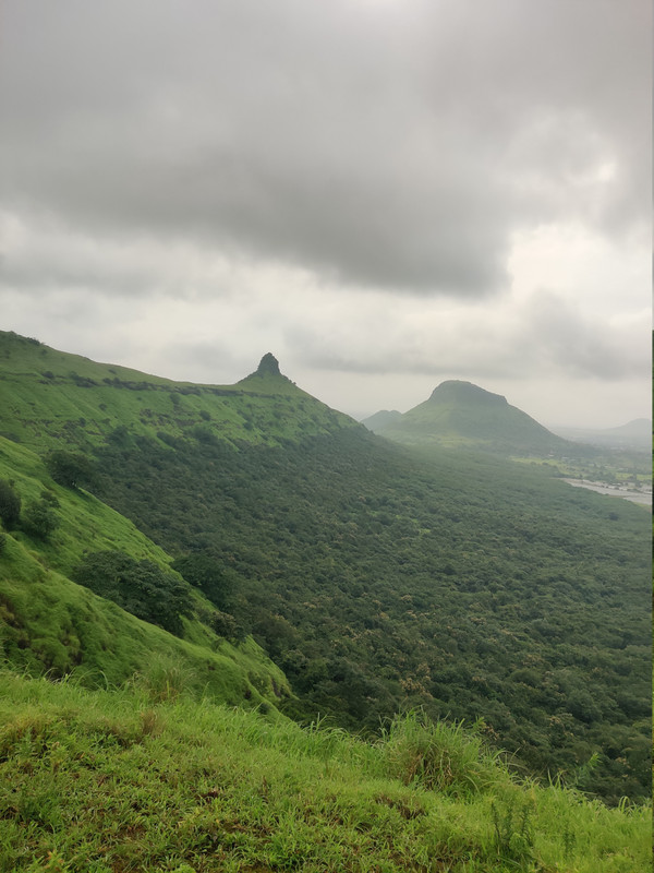
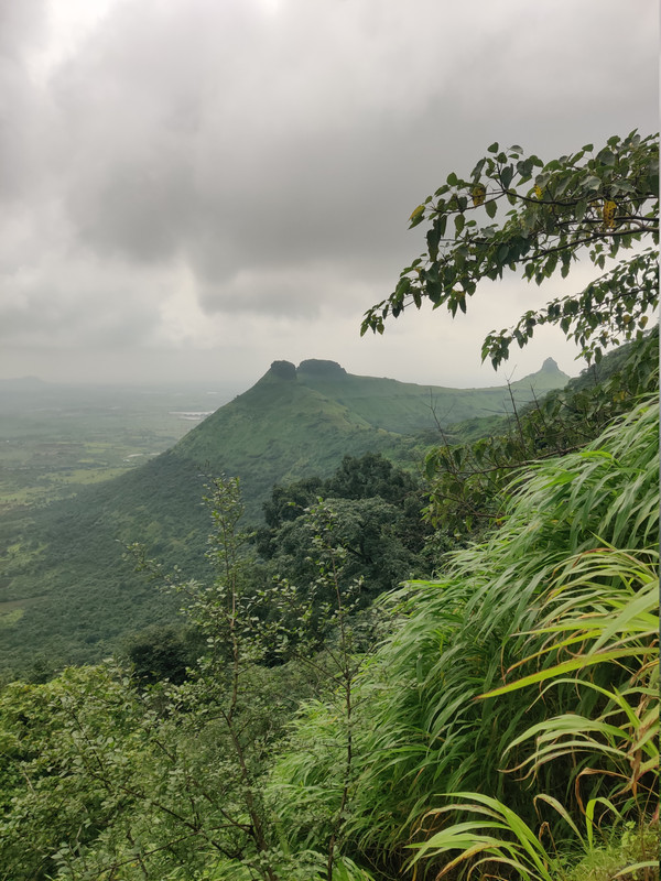
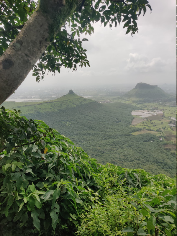
- Viewpoints (Ranges / Dams visible):
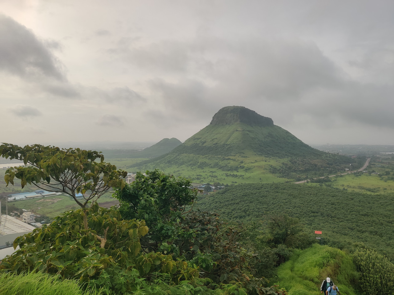
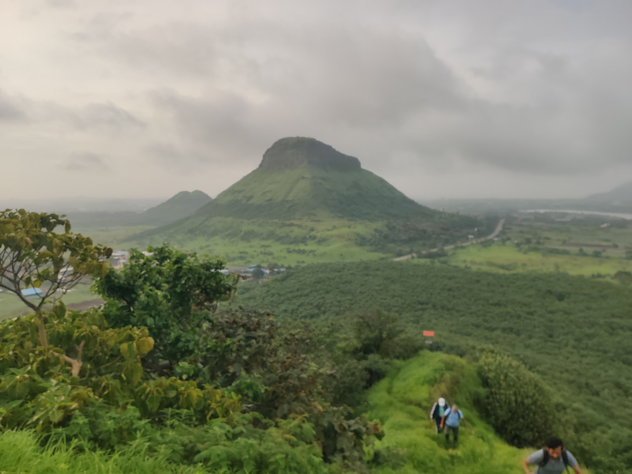
- West side view of Bhorgad fort / hill.
- East side view of Ramshej fort.
- South side view of Maynaa hill.
- North side views of Satmala range and Rashegaon village.
- Not to Miss:
- Open‑to‑sky Mahadev temple on south edge.
- Water tank on west side next to temple.
- All four‑direction views: Bhorgad, Ramshej, Manyee hill, Satmala and Rasegaon.
Experience & Observations
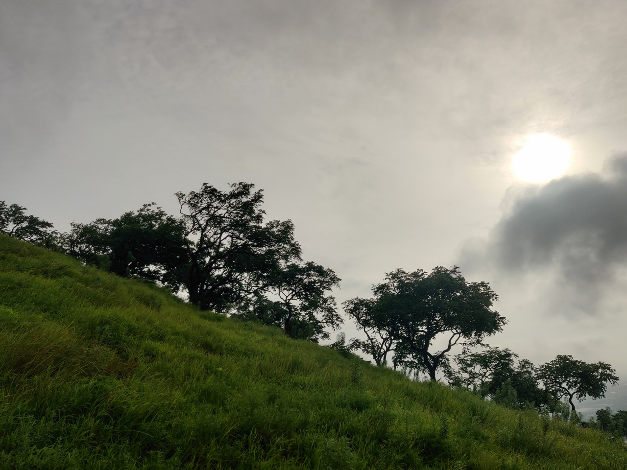
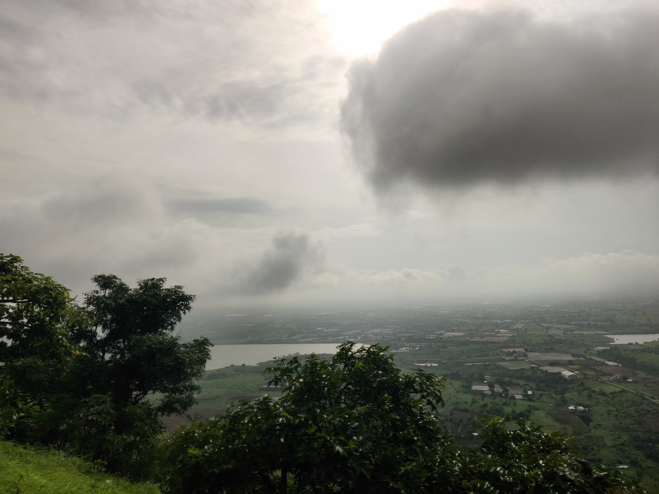
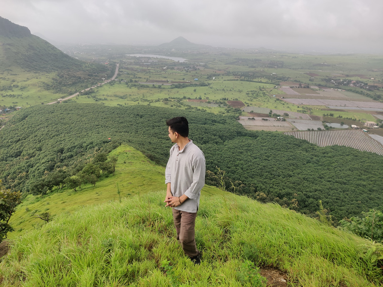
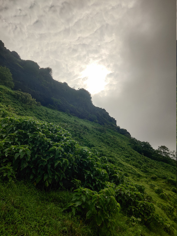
- Weather / Terrain:
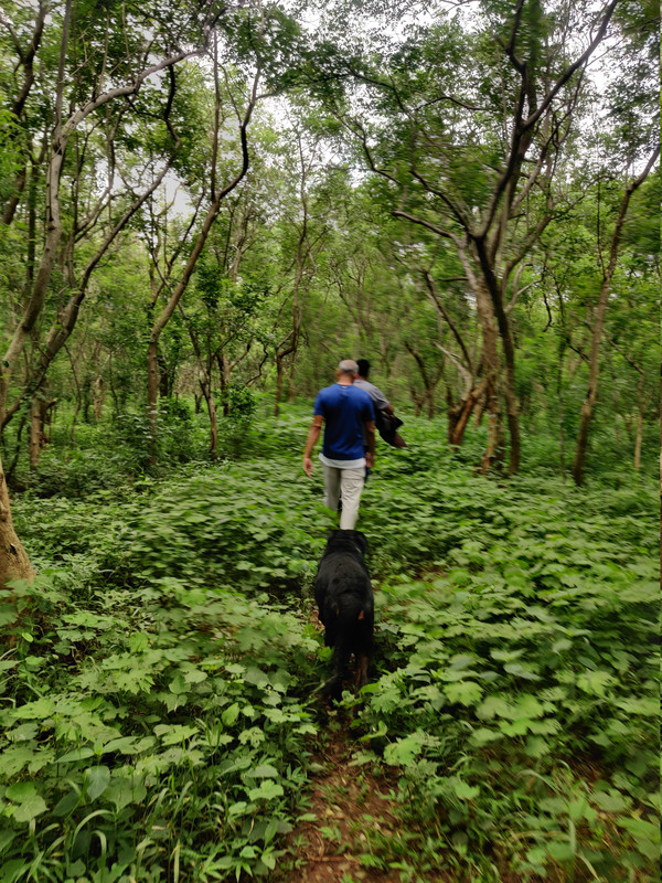
- started with a jungle safari.
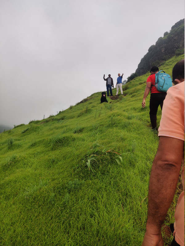
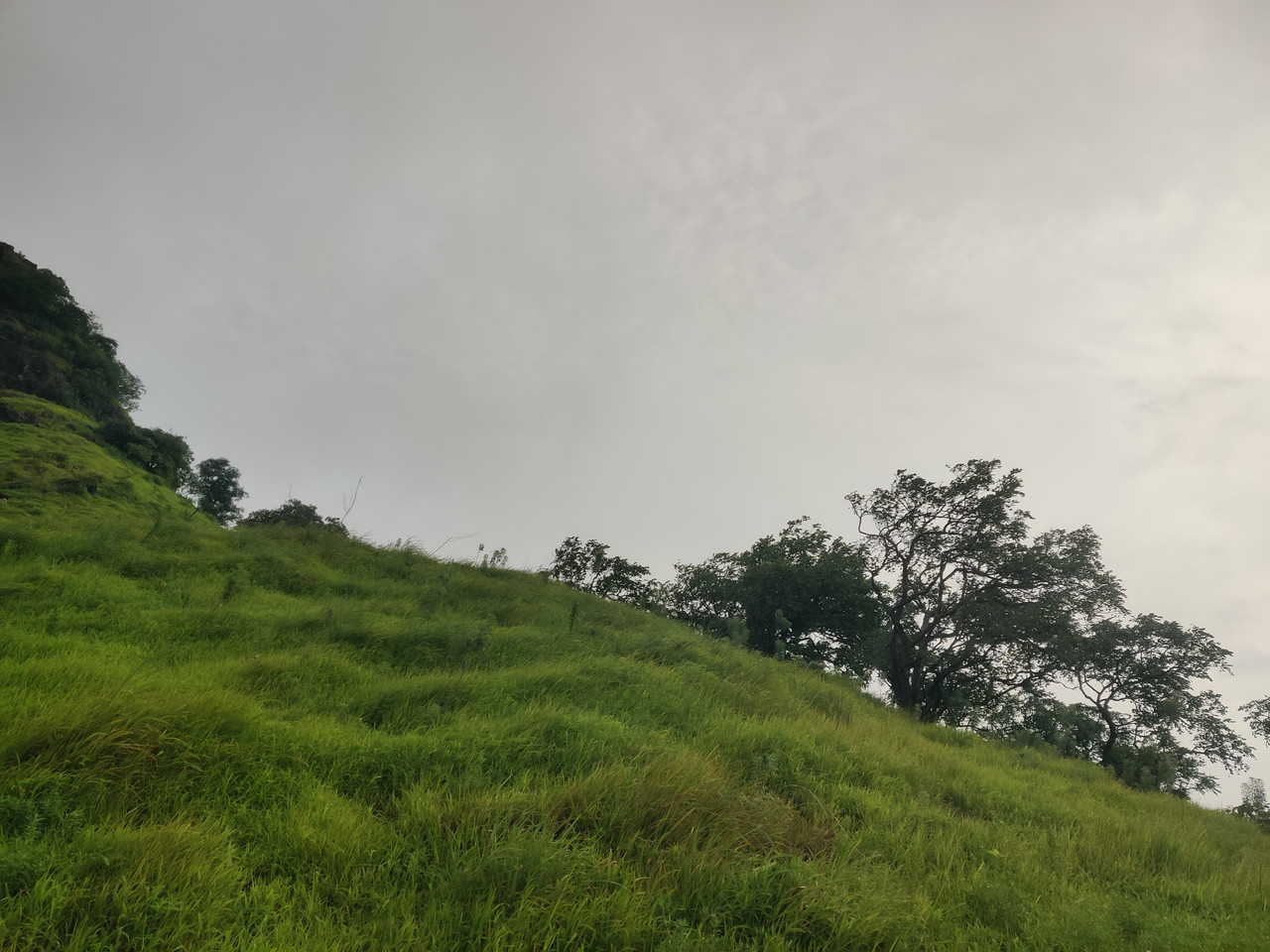
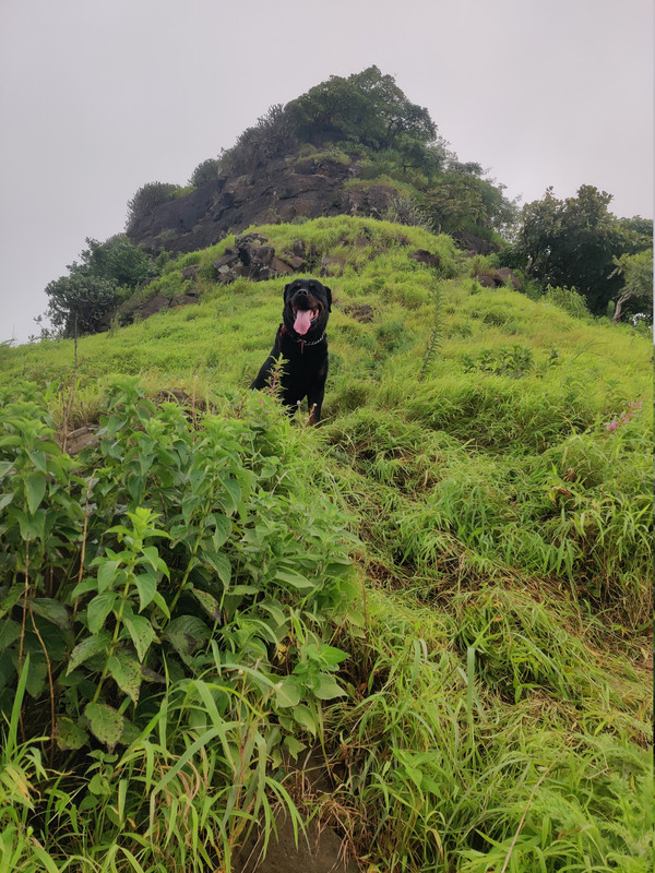
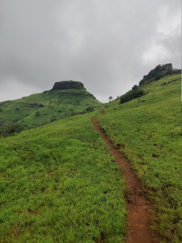
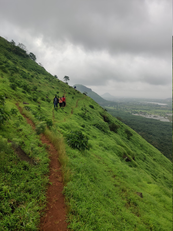
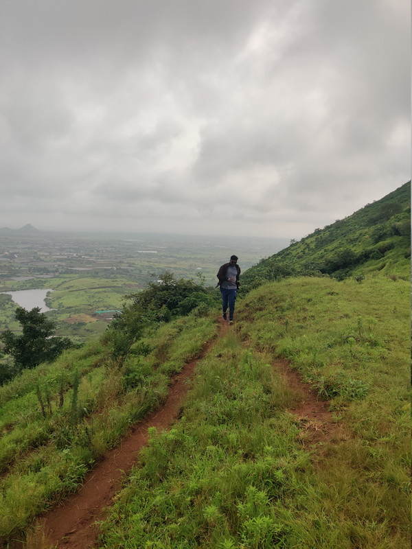
- Medium, short climb; mostly open hill with dense karvi patches covering the plateau.
- Rock‑cut steps in upper section; large spread but very gentle terrain overall.
- Notable Sights:
- Ancient rock tanks and Shivalinga hinting at past settlement.
- Continuous belt of karvi bushes across the top.
- Clear line‑of‑sight to Ramshej, Bhorgad and Satmala.
- Personal Experience:
- Perfect half‑day trek starting early from Nashik, finishing by noon and back home by 2 PM.
- Fort has very few remaining structures, so focus is more on views and terrain than big fortification.
- Vibe / Mood of Place:
- Quiet, lesser‑known fort close to city; feels like a hidden practice ground for beginners.
- Slightly wild due to karvi cover, but peaceful.
- Tips for Future Trekkers:
- Start early to avoid heat; carry enough water as tanks may dry after February.
- Follow south‑side route and faint paths carefully; a local from Rasegaon / guide is helpful.
- Combine with Ramshej or Bhorgad views for a fuller day.
Facilities & Amenities
- Food / Water Availability:
- No food or shops on fort; basic groceries in Rasegaon / nearby villages.
- Water available in tanks up to around February; treat before drinking.
- Accommodation / Prasadam Timings:
- Stay options mainly in Nashik city; none on fort.
- Shops / Auto Repair / Petrol Info:
- Hospitals and major facilities at Makhmalabad and Nashik.
- Petrol, garages and shops along Nashik–Peth highway and in Nashik.
- Guide Needed:
[X]yes – available at Rasegaon, useful as paths are faint.
Local Notes
- Village Population / Details:
- Rasegaon village ~30–40 houses; Deherwadi is small base settlement for fort.
- Major FoodCrops:
- Typical Dindori belt crops; grape and vegetable farming around highway belt.
- Local Culture / People:
- Farming communities; some locals guide trekkers and know Dehergad / Bhorgad–Ramshej history.
Photos & Media
[ ]Add photos – rock steps, tanks, Mahadev temple.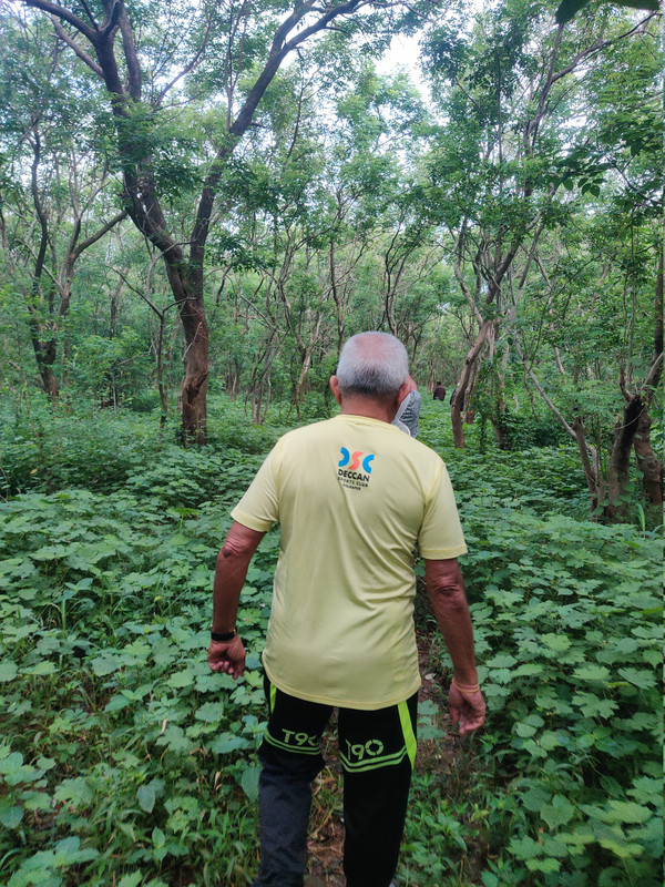
[ ]Add route map (GPS screenshot from Nashik → Deherwadi).[ ]Add group photo on plateau with Ramshej / Bhorgad in background.
Reflection
- What I Loved Most:
- Close‑to‑Nashik location, beginner‑friendly climb, quiet plateau covered with karvi and wide views to all major nearby forts.
- What I’d Improve Next Time:
- Explore connecting ridges towards Bhorgad / Ramshej, document more precise paths and GPS.
- Recommend To:
- Beginners from Nashik, quick half‑day outing seekers, people training for longer Sahyadri treks.
- Return Visit:
[X]yes/no[ ](why?) – Great as a warm‑up / practice trek and for introducing new trekkers near the city.- Video - https://vidplay.io/watch/e2zFWN
- Quote: “Some forts roar with crowds, others like Dehergad whisper through trees and broken stones.”